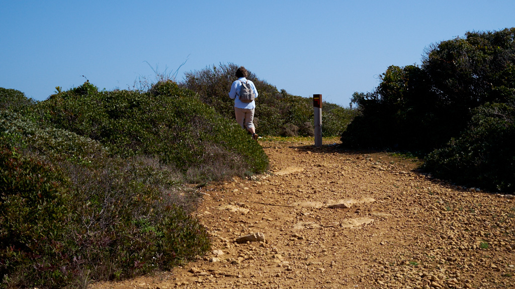
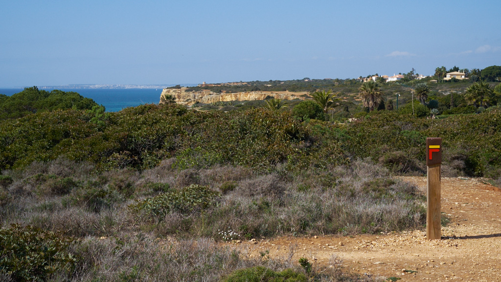
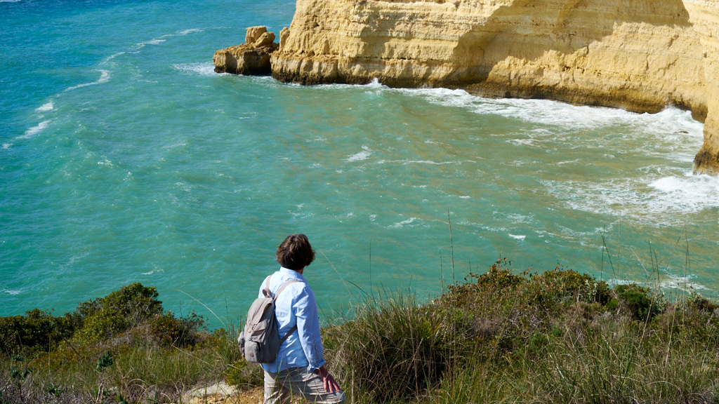
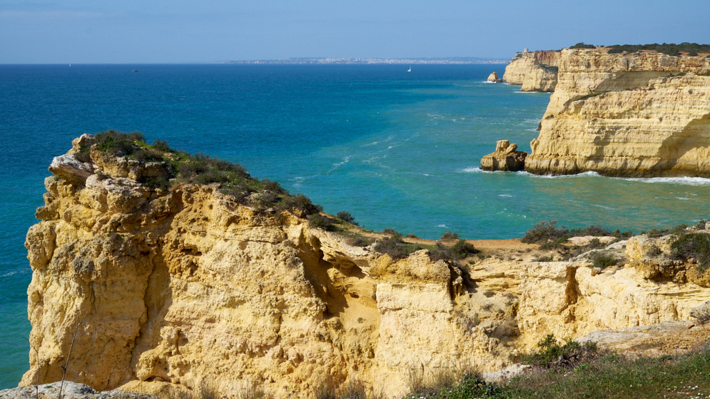
Enough with the cliffs. I think that it is time to make some notes about the trails themselves. So this post shows mostly trail markers, photos of Carol with a backdrop of the trail or the cliffs and a perspective shot of what we are trying to see.
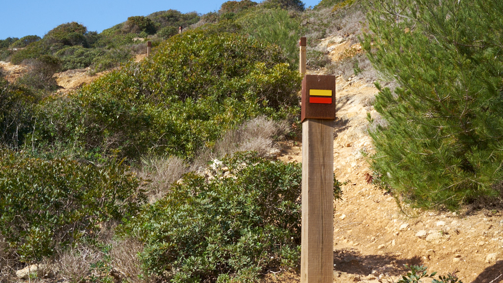
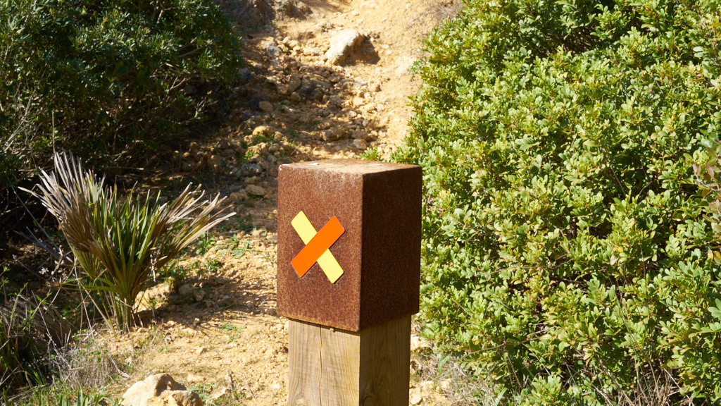
The 1st photo is of Carol on a typical trail, they are wide and comfortable with a rough cover of limestone rocks. The 2nd photo shows a trail marker with an arrow telling the hiker to turn right. The photo shows a series of markers going up the trail to the left. You should be able to see four trail makers, and the 4th photo tells the hiker that this is not the trail. Lots of people follow these paths - typically we did not.
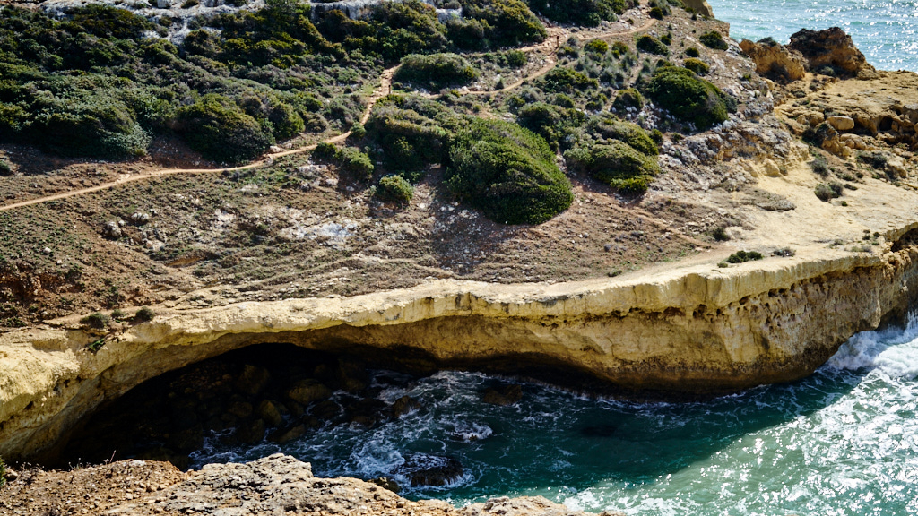
The 5th photo shows a trail on the other side of the valley. It is the thin line towards the top of the photo. The wider trail along the lip of the rock is more exciting and appeared to have more traffic. We took the higher trail because we could see that the lower, wider trail had lots of erosion under it. Can you see the trail marker in the upper right of the photo on the other side of the valley? #6 Carol navigating.
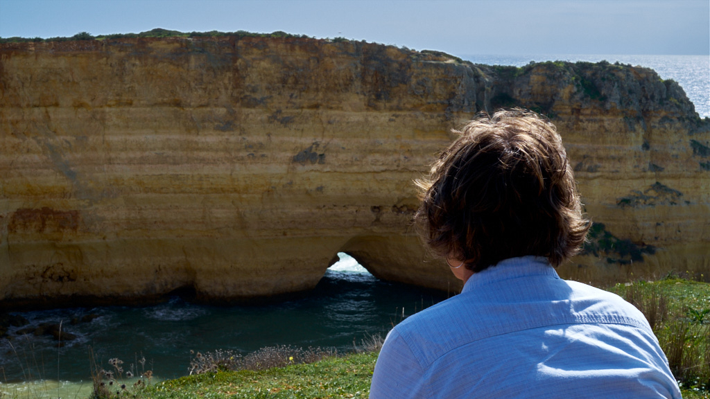
Then a resting spot where we could sit and wonder at the view. #9 shows Toore da Lapa in the medium distance and Lagos in the far distance.